
Na Špici park
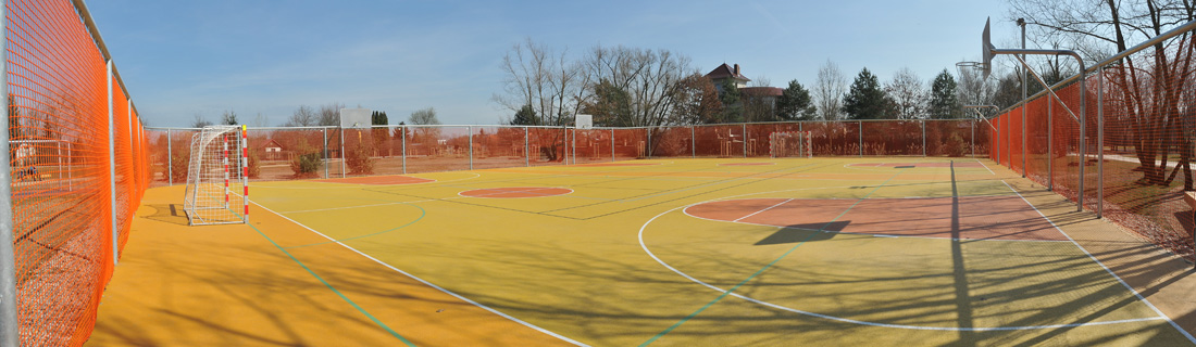
- The eastern part of the park is a sport-recreation zone. There is a multifunctional sport ground and a large playground with many interesting game elements. Throughout the park there are sport grounds for all ages.
- The central part of the park is a quiet zone with a lot of beautiful greenery and a water body “Čičák”
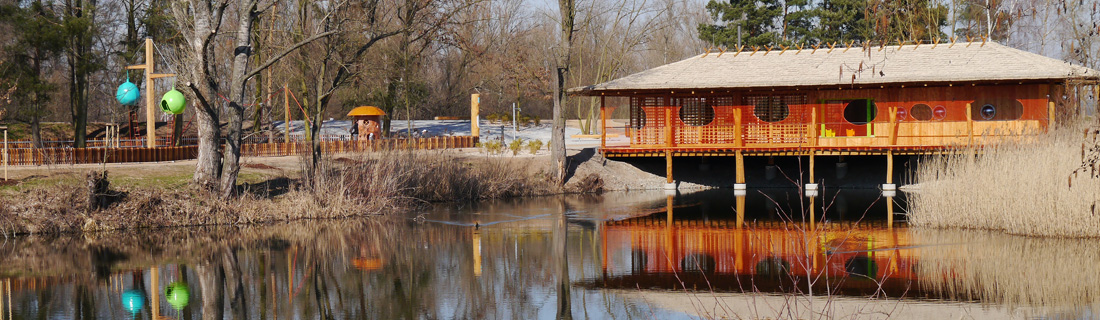
- The Park is also equipped with basic facilities for visitors (public toilets, water fountain, and lighting). In the eastern part, on the edge of the water body “Čičák”, there is a wooden pavilion, which serves as a place to watch birds on the lake surface and surroundings.
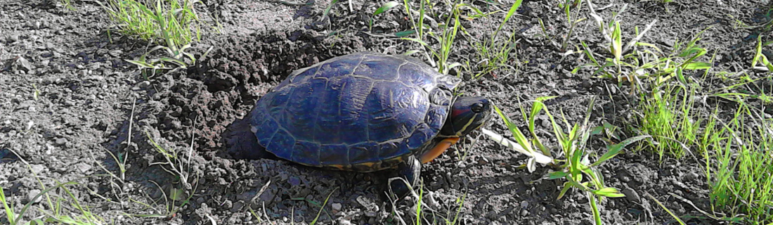
Na Špici park is part of the urban greenery of the Elbe and Chrudimka rivers. It is defined in the north and west by the confluence of both rivers and in the South by Spojil’s drains. In the east, it is defined by the tip of the garden and cottage settlements towards the Elbe. The Park is exceptional due to its location at the confluence of the Elbe and Chrudimka rivers, as well as its closeness to the historical center of the town. Due to its location, along with the central water body “Cičák”, which is an important landscape element, it is a habitat of many bird species. Na Špici park is an ideal place for recreation, sports and entertainment.
Focus of the park
Geological, hydrogeological and hydrological conditions.
Chalk sedimentary rocks are continuously covered by quaternary sediment complexes, dominating by fluvial clay to lower-grade sands. Gravel-shaped floodplains show poorly in the basal part of the cover formation, which is marked by naked river erosion, geologically preserved in the form of river shoulder fillings, today mostly fossilized under the youngest flood plains.
In our area, the old Elbe shoulder (or the original Elbe river bed), whose dominant part is a free surface, is noticeably visible on the right bank of the Elbe. The hidden part then intersects the present Elbe trough, and on the left bank it passes through in the direction of NE-SW. The “Cičák” pond in the middle is a natural relict part. The fossilized river shoulder, of a depth of 5 m, is a significant hindrance to construction work due to its soft, highly compressible organic sediments.
The abundant character of the site, formerly flooded periodically in the floodplain inundation near the confluence of the Elbe and Chrudimka, is confirmed by the continuous occurrence of fine-grained (predominantly sandy-flood) flood deposits, the so-called alluvial canal of up to 4 m. The youngest layer is anthropogenic. These are flat weirs and load-bearing bodies of line constructions that have been picked up and aligned with the original terrain.
Hydrogeologically, the chalk rock subsoil is classified into the hydrogeological region No. 4360 – Elbe chalk and the covering structure to the hydrogeological region No. 1140 – Quartet of the Elbe after Týnec.
This area can be divided into two drains:
the upper (quaternary) drain is connected to the collector of quaternary sediments with perpendicular permeability, and partly to the upper zone of the surface of the underlying chalk rocks. The drain is mainly subsidized by shore infiltration. The underground water level is slightly tense, mostly in direct hydraulic connection with adjacent watercourses. Natural flow is shallow. Water flow to NW direction. However, the locality is significantly affected by the construction of a water systems linking objects (eg, Spojil drain). This fact causes a somewhat chaotic drain of the shallow underground water.
The lower Cretaceous (basal) drain is connected to a fissure-permeable sandstone collector of the Cenomanian formation. This is a deeply imposed artesian horizon, which is irrelevant.

Justification of the project – Former state
The vegetation was covered with planted trees, the tree way was largely out of order, the asphalt roads and the sidewalks were disturbed by root erosion.
There was no playground, sport fields nor facilities in the park. The area is part of the protected zone of the city’s historical heritage site. Due to its location, the park is an important part of the public space of the city and its past status did not allow its potential to be fully used.
The final scope of work was selected, taking into consideration the current state of Na Spić, the financial possibilities of the city and the demand and the remarks of the inhabitants for the renovation of the park.
Project goal
The renovated area of the park is 6,8 hectares and include mainly leisure facilities – benches, children’s playground, relax areas, multipurpose sport ground, new Pavilion for educational and leisure activities. Constructing lighting and footbridges, which is a very important link to the city center, to Tyršové sady, and to other part of the city “Polabiny”, has increased the attractiveness of this area.
The project is part of the Integrated Development Plan of Pardubice “Attractive City” and complements other projects aimed at enhancing the quality of the urbanized environment in the city center, which have been implemented under the IPRM and which use the so-called synergic effect. The project was done from March to November 2014 and co-funded by the European Union from the European Regional Development Fund.
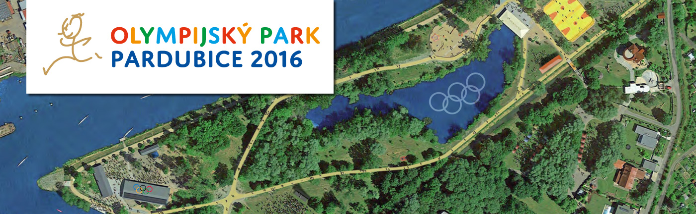
Pardubice Olympic Park 2016